Large U.S. Coast and Geodetic Survey Chart A of the Atlantic Coast, 1877
Large U.S. Coast and Geodetic Survey Chart A of the Atlantic Coast, 1877
$5,800.00
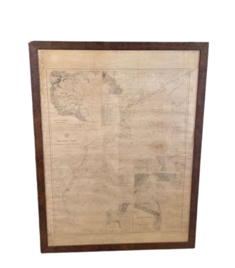
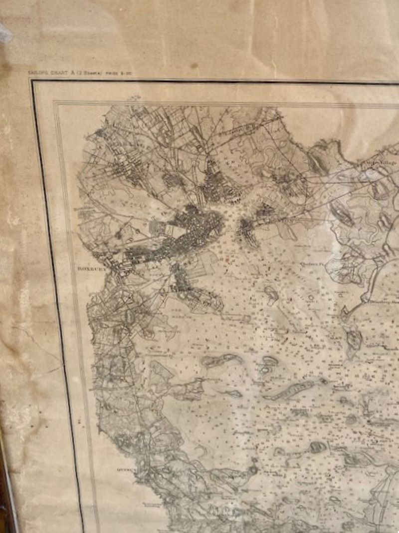
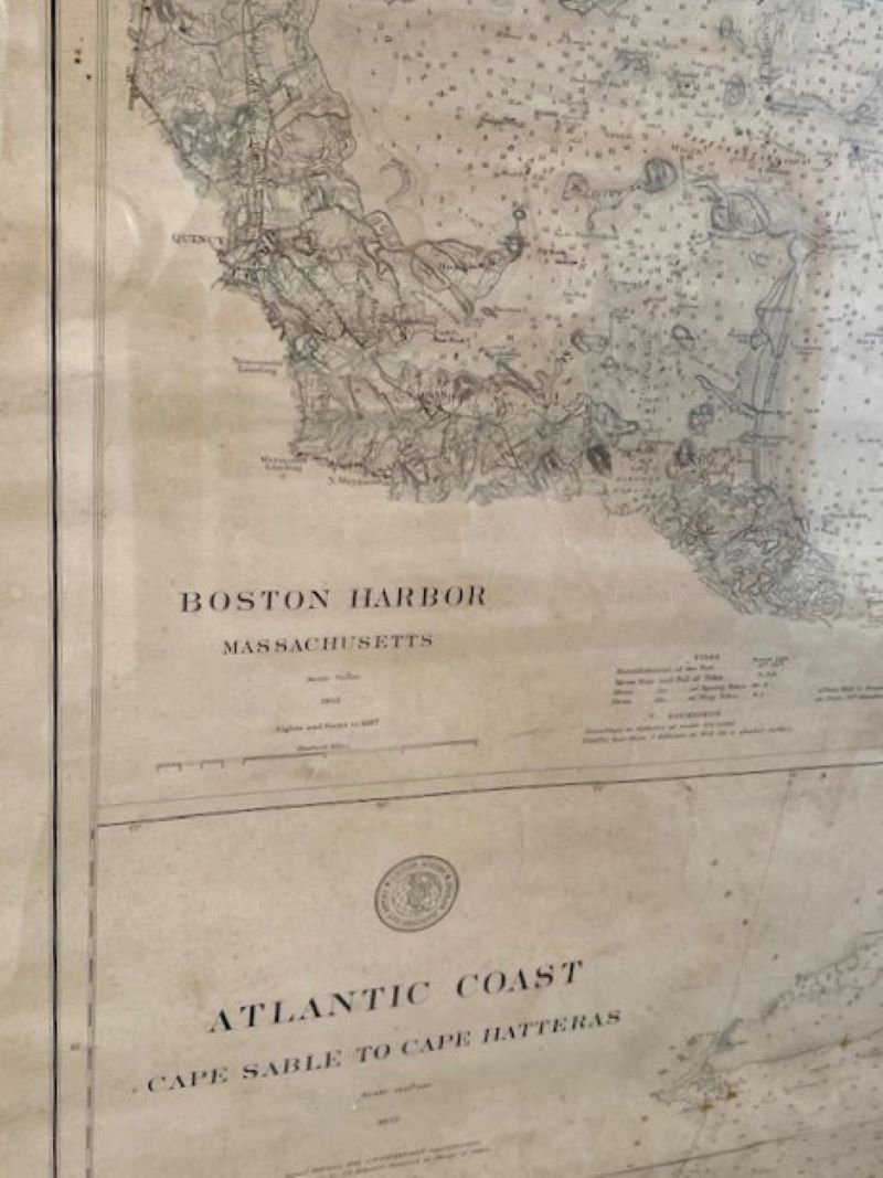
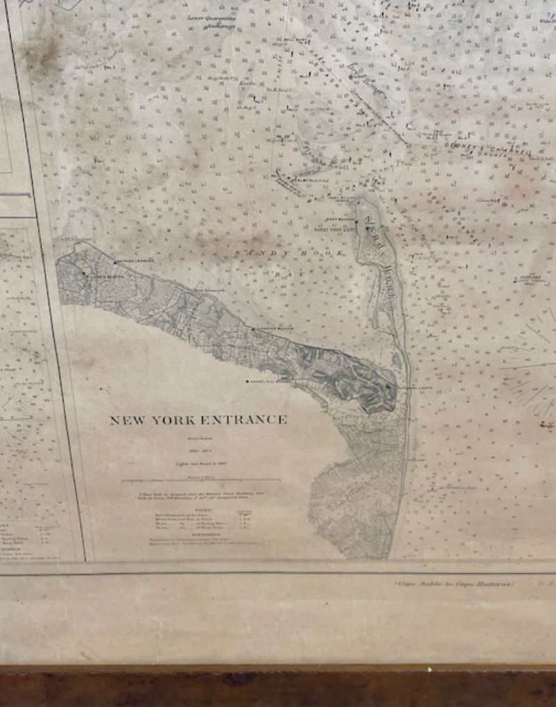
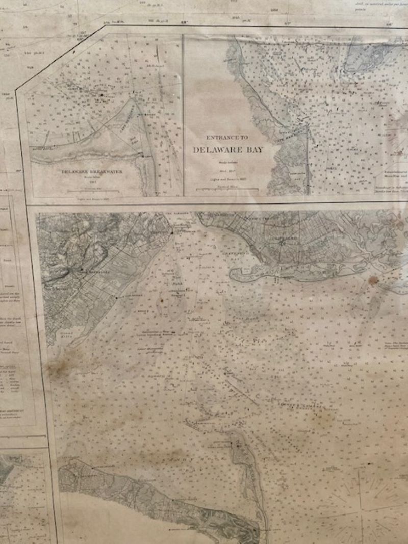
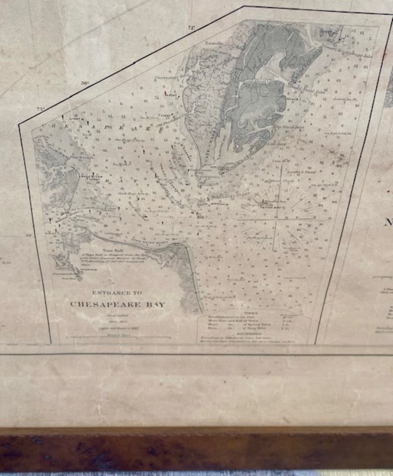
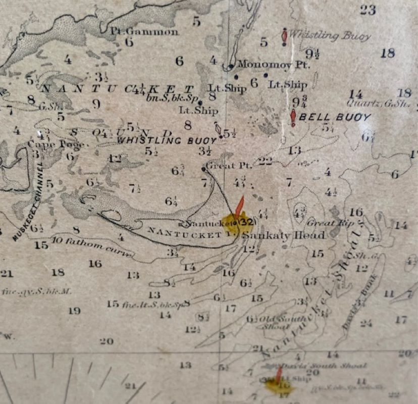
Large U.S. Coast and Geodetic Survey Chart A of the Atlantic Coast, 1877, re-issued in February 1881, a printed paper laid down on linen navigational chart of the U.S. Atlantic coast line from Cape Sable to Cape Hatteras with depth soundings and coastal features, and including enlarged insets of Boston Harbor, Portland Harbor, Delaware Bay, New York Entrance, and Chesapeake Bay.
Large U.S. Coast and Geodetic Survey Chart A of the Atlantic Coast, 1877, re-issued in February 1881, a printed paper laid down on linen navigational chart of the U.S. Atlantic coast line from Cape Sable to Cape Hatteras with depth soundings and coastal features, and including enlarged insets of Boston Harbor, Portland Harbor, Delaware Bay, New York Entrance, and Chesapeake Bay. The location of lighthouses has been highlighted on the chart.
In surprisingly good condition for a used onboard navigational chart, with only minimal wear here and there along edges.
Measures: 50-5/8 in H x 37-5/8 in W
Framed: 54-3/4 in H x 41-3/4 in W