18th Century Hand Colored Map of The State of Massachusetts, 1796

18th Century Hand Colored Map of The State of Massachusetts, 1796
$1,200.00
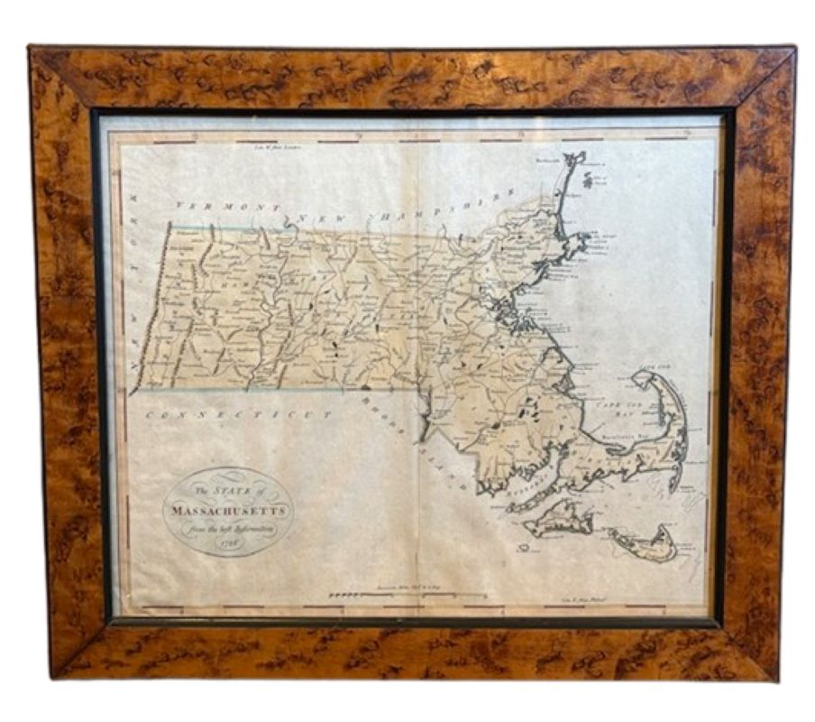
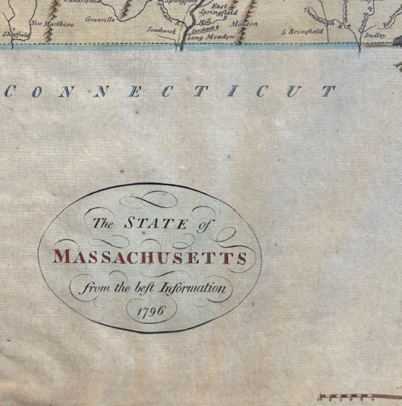
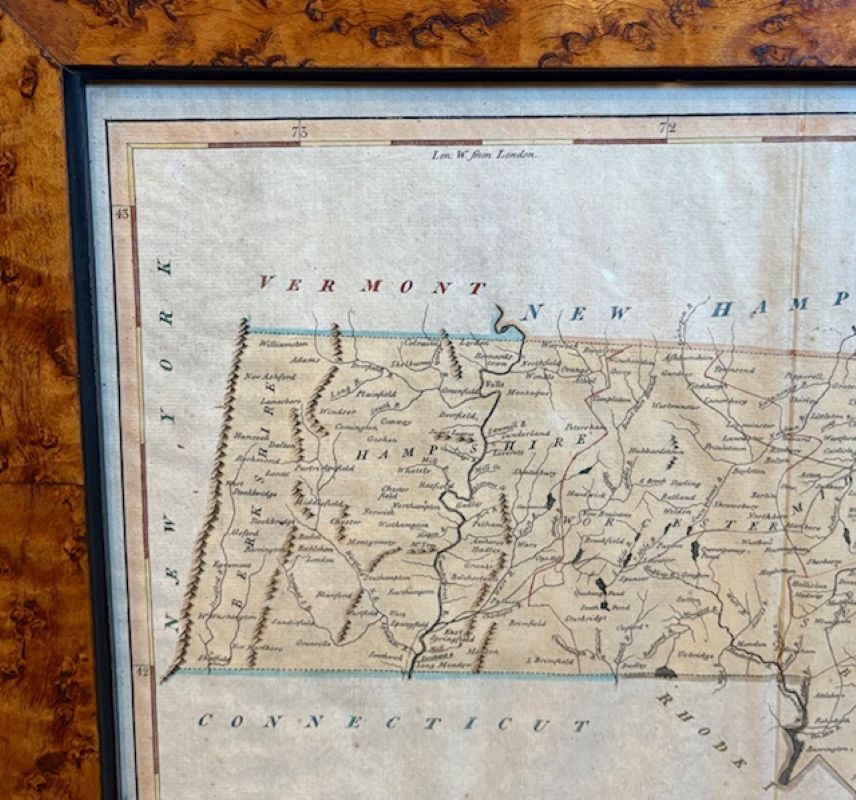
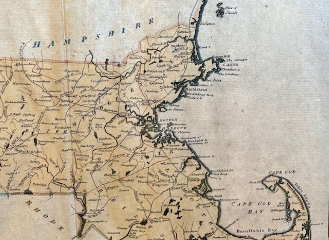
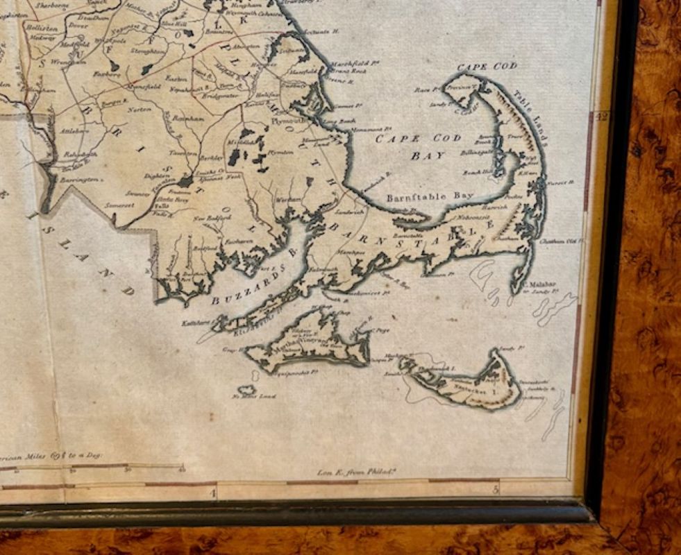
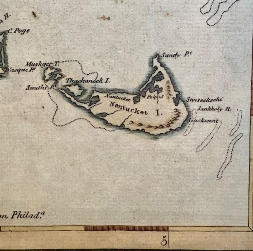
18th Century Hand Colored Map of “The State of Massachusetts from the best information,” 1796, by cartographer and illustrator John Reid published in his “American Atlas,” a period engraved map printed on woven paper, with town and county identifications, rivers, lakes, mountains and coastal details – including our archipelago of Nantucket, Tuckernuck and Muskeget Islands, titled and dated in an oval reserve lower left, and with lovely hand-painted hues that appear to be from the period. The top and bottom margins are calibrated with longitude west from London and east from Philadelphia, respectively.
In stock
18th Century Hand Colored Map of “The State of Massachusetts from the best information,” 1796, by cartographer and illustrator John Reid published in his “American Atlas,” a period engraved map printed on woven paper, with town and county identifications, rivers, lakes, mountains and coastal details – including our archipelago of Nantucket, Tuckernuck and Muskeget Islands, titled and dated in an oval reserve lower left, and with lovely hand-painted hues that appear to be from the period. The top and bottom margins are calibrated with longitude west from London and east from Philadelphia, respectively.
The map is not signed, but is a well-known work and can be identified by an original by Reid held in the Library of Congress.
The map remains in very good condition, with just the crease from former folding; mounted in a later burlwood frame.
Measures: 14-3/4 in H x 18 in W
Framed: 18-7/8 in H x 21-7/8 in W