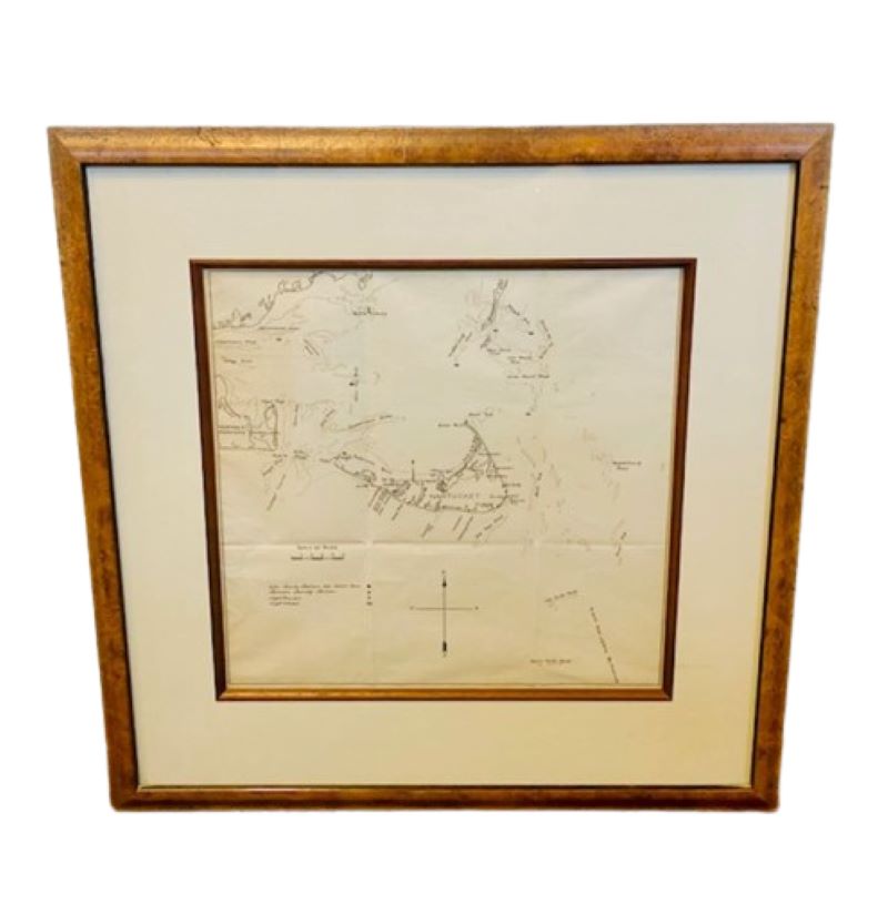
Extremely Rare 19th Century Chart of Nantucket. circa 1850

Extremely Rare 19th Century Chart of Nantucket. circa 1850
$1,525.00
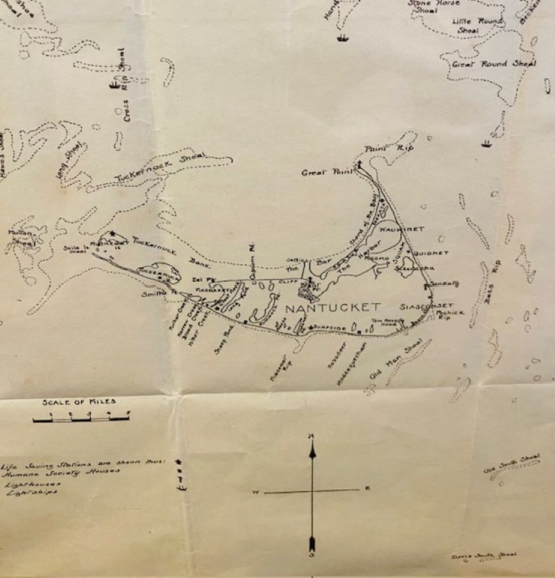
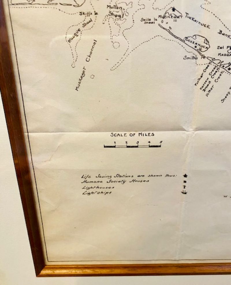
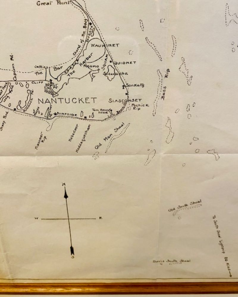
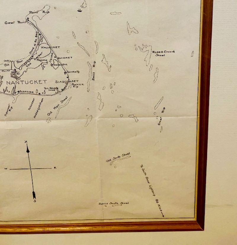
Extremely Rare 19th Century Chart of Nantucket. circa 1850, with details of Nantucket Island, Eastern Martha’s Vineyard, Monomoy Island and surrounding shoals. This is a unique, unpublished chart, and is almost certainly a one-off creation. The fact that Lt. Davis’ Shoals (the New South Shoals) are included to the Southeast of Nantucket indicates that the chart was drawn after 1840.
In stock
Extremely Rare 19th Century Chart of Nantucket. circa 1850, with details of Nantucket Island, Eastern Martha’s Vineyard, Monomoy Island and surrounding shoals. This is a unique, unpublished chart, and is almost certainly a one-off creation. The fact that Lt. Davis’ Shoals (the New South Shoals) are included to the Southeast of Nantucket indicates that the chart was drawn after 1840.
The chart remains in excellent condition, with only the folds expected from use (but fortunately they have not foxed along the fold lines).
Measures: 10-3/4 in H x 11 in W
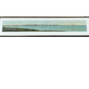
Framed: 17-1/2 in H x 17-1/2 in W