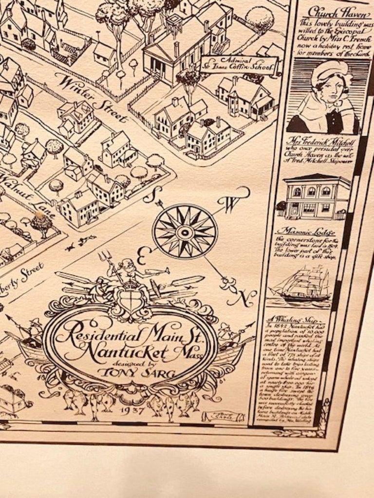
Tony Sarg Map of Residential Main Street, Nantucket, 1937
Tony Sarg Map of Residential Main Street, Nantucket, 1937
$1,100.00
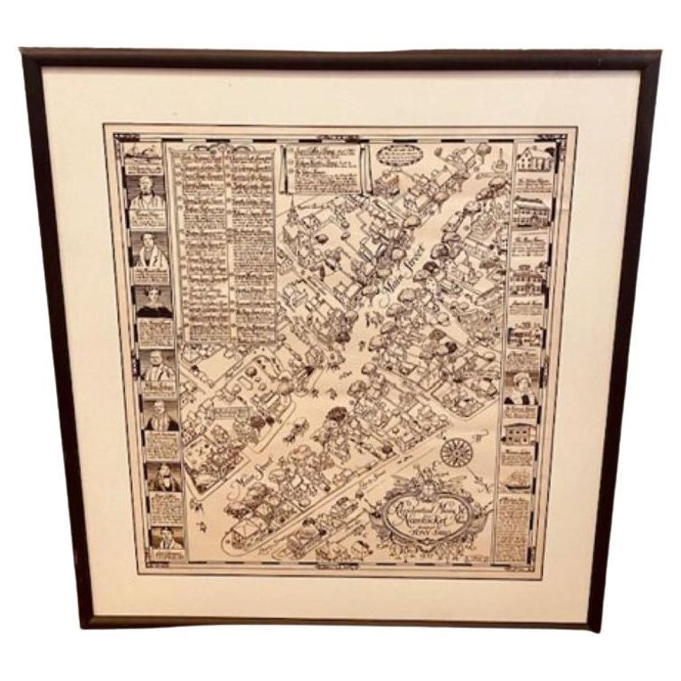
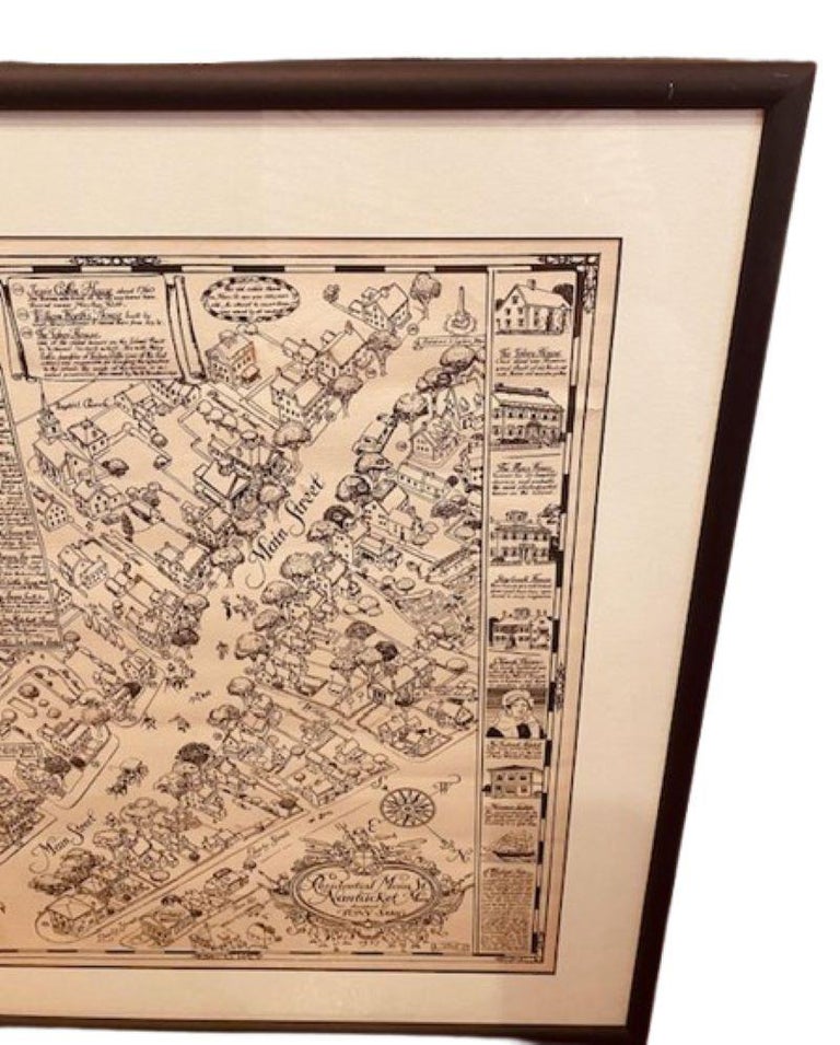
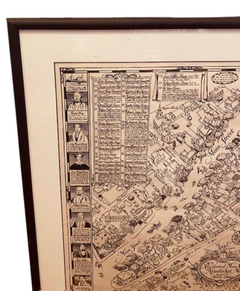
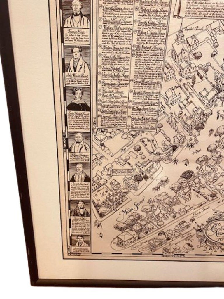
Tony Sarg Map of Residential Main Street, Nantucket, 1937, a black and white printed map of our historic downtown area, with images of each building, street names and whimsical figures, and an insert in the upper left giving details of many of the historic houses; flanked by two columns of iconic island figures and landmarks; signed and dated in the print lower right.
In stock
Tony Sarg Map of Residential Main Street, Nantucket, 1937, a black and white printed map of our historic downtown area, with images of each building, street names and whimsical figures, and an insert in the upper left giving details of many of the historic houses; flanked by two columns of iconic island figures and landmarks; signed and dated in the print lower right.
The map remains in excellent condition, and has been recently mounted in conservation matting and an ebonized frame.
Measures: 18-3/4 in H x 16-5/8
Framed: 24-1/4 in H x 22-1/8 in W

